|
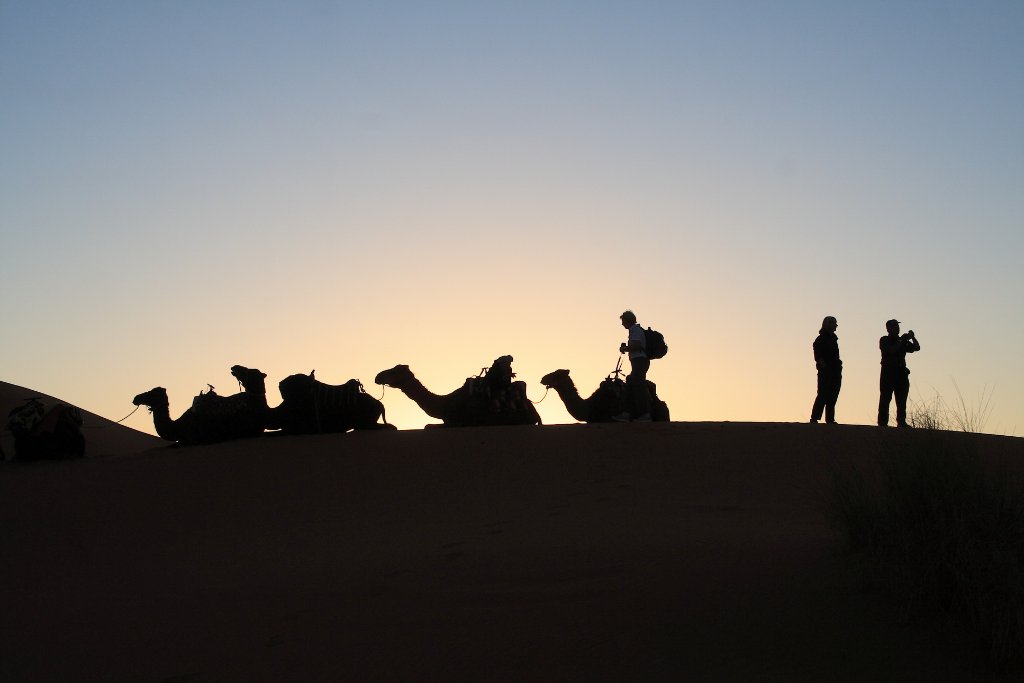 |
| Sunset in Erg Chebbi | |
| Latitude: N 31°12'12,67" | Longitude: W 3°59'39,94" | Altitude: 775 metres | Location: Merzouga | City: Erfoud | State/Province: Meknès-Tafilalet | Country: Marokko | Copyright: Ron Harkink | See map | |
| Total images: 18 | Help | |
|
|
|
| Sunset in Erg Chebbi | |
| Latitude: N 31°12'12,67" | Longitude: W 3°59'39,94" | Altitude: 775 metres | Location: Merzouga | City: Erfoud | State/Province: Meknès-Tafilalet | Country: Marokko | Copyright: Ron Harkink | See map | |
| Total images: 18 | Help | |